


***
Facts and Figures
Name: Bhutan (long form) Kingdom of Bhutan
Population: 2,232,300 ( 138 out of 192 Countries )
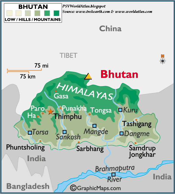
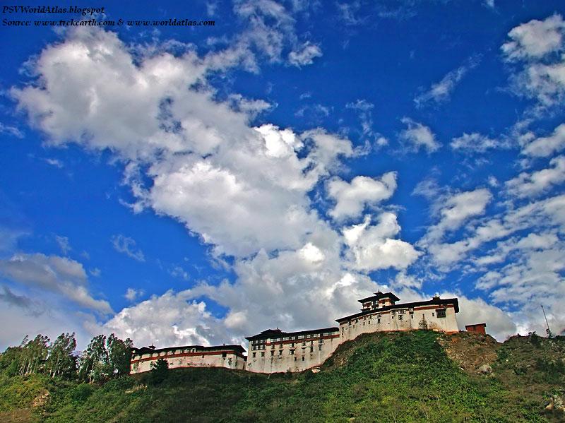
Capital City: Thimphu (66,500)
Currency: Ngultrum (BTN)
Languages: Dzongkha (official), and varied Tibetan and Nepalese dialects
National Day: December 17
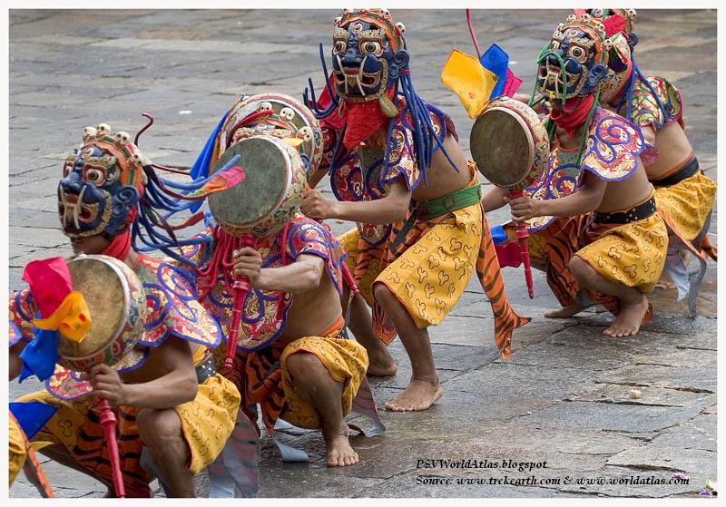
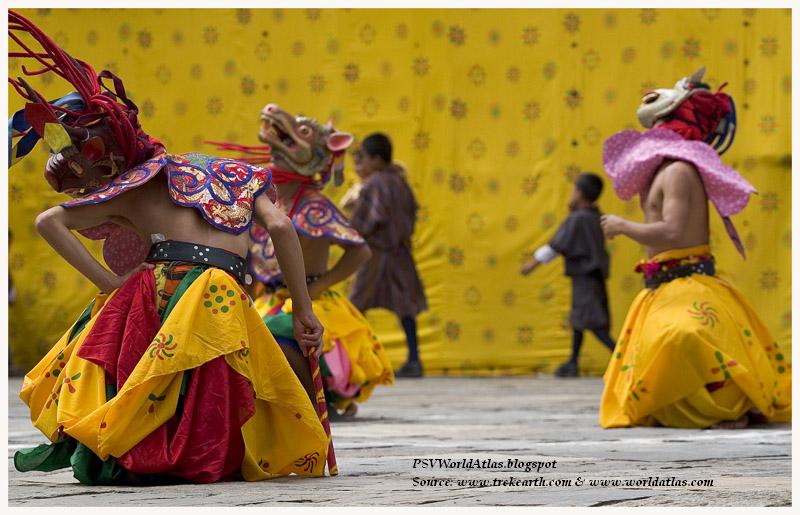
Religions: Lamaistic Buddhist (75%), Indian and Nepalese-influenced Hinduism (25%)
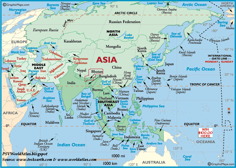
Geographic Coordinates
Latitude/Longitude (Capital City): 27° 32' N, 89° 43' E
Relative Location: Bhutan is in both the northern and eastern hemispheres. It's positioned on the Indian subcontinent, a recognized geographical region of southern Asia. This landlocked country is bordered by China and India.
Land Statistics
Coastline: 0 (landlocked)
Land Areas:
(land) 18,147 sq miles (47,000 sq km)
(water) 0 sq miles (0 sq km) (TOTAL) 18,147 sq miles (47,000 sq km) ( 128 out of 192 Countries)
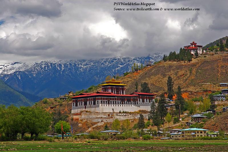
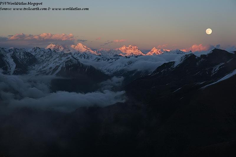
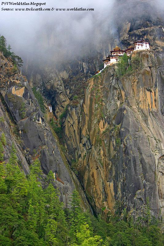
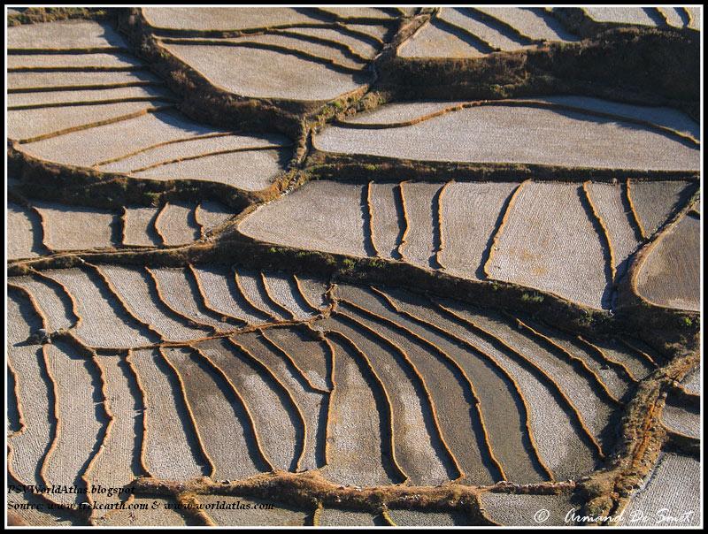
Landforms: Bhutan is a rugged lands of steep mountains and deep valleys. It is easily divided into three main geographical areas. The lowlands front it's southern border with India; the lesser (or lower) Himalayas cover the central areas, and its northern border with China is dominated by the massive peaks of the Himalayas. Many mountain peaks in northern Bhutan reach heights of over 7,000 meters. Numerous small rivers drain the land, including the Dangme, Mangde, Sankosh and Torsa.
Highest Point: Kula Kamgri - 24,783 ft. (7,554 m).
Lowest Point: Drangme Chhu - 318 ft. (97 m)
Climate: The weather in Bhutan varies from tropical in the south, to more moderate conditions in the central hills and valleys. In the far-north snowy days and cold temperatures are the norm. The summer monsoon season affects the entire country, so the spring and fall seasons are considered ideal, as they offer clear skies and low humidity. Summer high temperatures do approach 29° f, south and central, while winter lows vary drastically by elevation.
هیچ نظری موجود نیست:
ارسال یک نظر