


strong>Facts and Figures
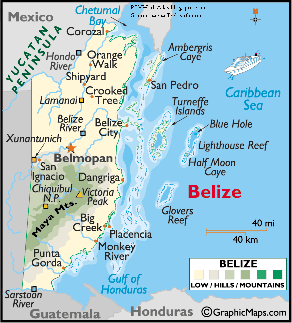
Name: Belize
Population: 287,730
Capital City: Belmopan (52,000)
Currency: Belizean Dollar (BZD)
Languages: English (official), Spanish, Mayan, Garifuna, Creole
Religions: Catholic (50%), Protestant (27%), others
Geographic Coordinates
Latitude/Longitude (Capital City): 16° 13' N, 88° 48' W
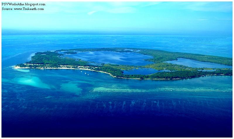
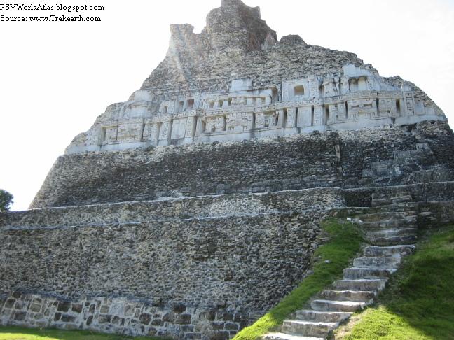
Relative Location: Belize is positioned in both the northern and western hemispheres. Located in North America on the northern edge of the Central America isthmus - a somewhat narrow strip of land that connects North and South America - the country is bordered by Guatemala, Mexico, the Gulf of Honduras and the Caribbean Sea.
Land Statistics
Coastline: 240 miles (386 km)
Land: 8,805 sq miles (22,806 sq km)
Water: 62 sq miles (160 sq km)
TOTAL: 8,867 sq miles (22,966 sq km)
Highest Point: Victoria Peak - 3,805 ft. (1,160 m)
Lowest Point: Caribbean Sea - 0 ft. (0 m)
Climate: Belize has consistently warm and humid tropical weather with pronounced wet and dry seasons.
The rainy season typically runs (June - December) and the dry season from (January - May). Rainfall is heaviest in the coastal areas of the far south.
Average high temperatures in the coastal regions reach into the mid 70s throughout most of the year, and a bit higher inland. Much higher temperatures in the offshore islands are commonplace, with cooler conditions the norm in the mountains of the south.
Belize is occasionally the victim of the Atlantic Ocean hurricane season, and the most recent one to hit the country (Hurricane Greta) caused severe damage along the southern coastal areas in 1978.
In fact, after Hurricane Hattie devastated the central coastal area of the country in the early 1960s, the subsequent destruction of Belize City was the catalyst for the relocation of the capital to the inland city of Belmopan.
هیچ نظری موجود نیست:
ارسال یک نظر